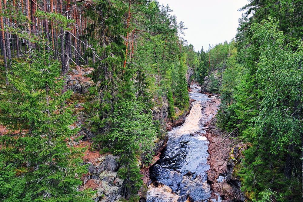
The region of Värmland captured our hearts during our road trip through Sweden. The nature is beautiful here, with many lakes and ancient forests. The hilly landscape attracts a lot of tourists, especially for outdoor activities like kayaking and hiking. We went on some beautiful hikes in Värmland, such as the walk at the Brattfallet waterfall. Its width makes this waterfall spectacular. But the landscape around the waterfall also charmed us. Stunning views, beautiful forests, and some serious climbs, all part of this route. Truly a hike that is a must when you are on vacation in Värmland!
Värmland, the Swedish lake district
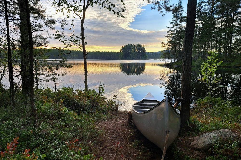
The region of Värmland is located in the middle of Sweden. It is a rural and sparsely populated province with a lot of forestry. Commercial timber production is an important source of livelihood. In addition to the vast forests, lakes are abundant in Värmland. From every vantage point, you can see a lake. This is not surprising as there are more than 11,000 lakes in this region. Therefore, kayaking on different lakes is very popular in Värmland.
The forests and lakes are a major draw for tourists. People from all over Europe enjoy visiting and some fall so in love with the area that they end up buying a house there. However, most holidaymakers come from Sweden itself, Norway, Denmark, or Germany. The vastness of the landscape thankfully means that you won’t encounter many others. Värmland is home to over 300,000 people. This provides plenty of space for outdoor enthusiasts in Värmland. During our hike at the Brattfallet waterfall, we didn’t encounter anyone, not even at the waterfall itself, on a beautiful Sunday in early September.
Our hike at the Brattfallet waterfall
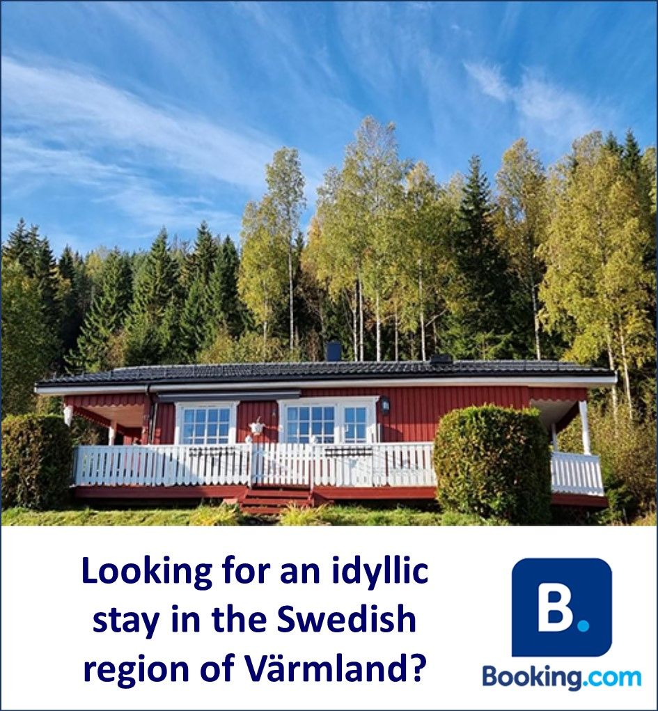
On a sunny Sunday in early September, we want to take the hike at the Brattfallet waterfall. Due to the nice weather and the weekend, we expect that we won’t be the only ones. Therefore, we leave our stuga (wooden red cottage) at the beautifully located small camping site Värmlands Garden on time. In about three quarters of an hour, we reach the parking lot at the waterfall. The enormous tranquility is noticeable, as there are only a few cars.
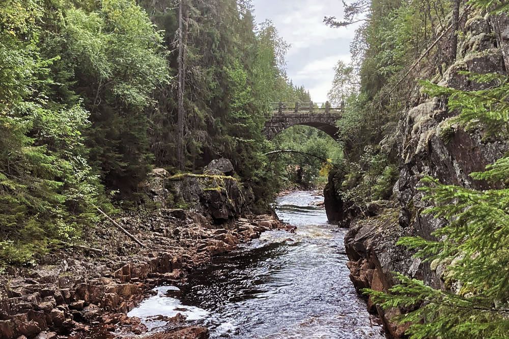
We decide not to first view the waterfall, we will do that at the end of the hike. Instead, we walk directly to the beautiful stone bridge over the Halgan River. The bridge was built about 100 years ago. Around 700 workers built roads and bridges in this part of Värmland as a work relief project during the economic crisis. Before that, there were no roads in this region, all transport was done by water. From the bridge, we see the water flowing at full speed. The waterfall is further down the path, still out of our sight from this spot. We’ll save that treat for the end of the hike.
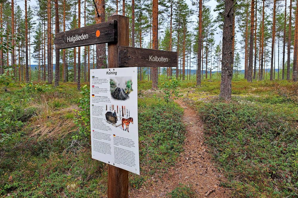
We pass a memorial stone in memory of all the workers who built the roads in this area. After crossing the road, our hike at the Brattfallet waterfall truly begins. This is the Halgåleden, we read on the signpost. The route is marked with an orange dot, making it easy to follow. Via boardwalks, we descend a bit. Later, we take a steep uphill staircase.
Along the Vangån River
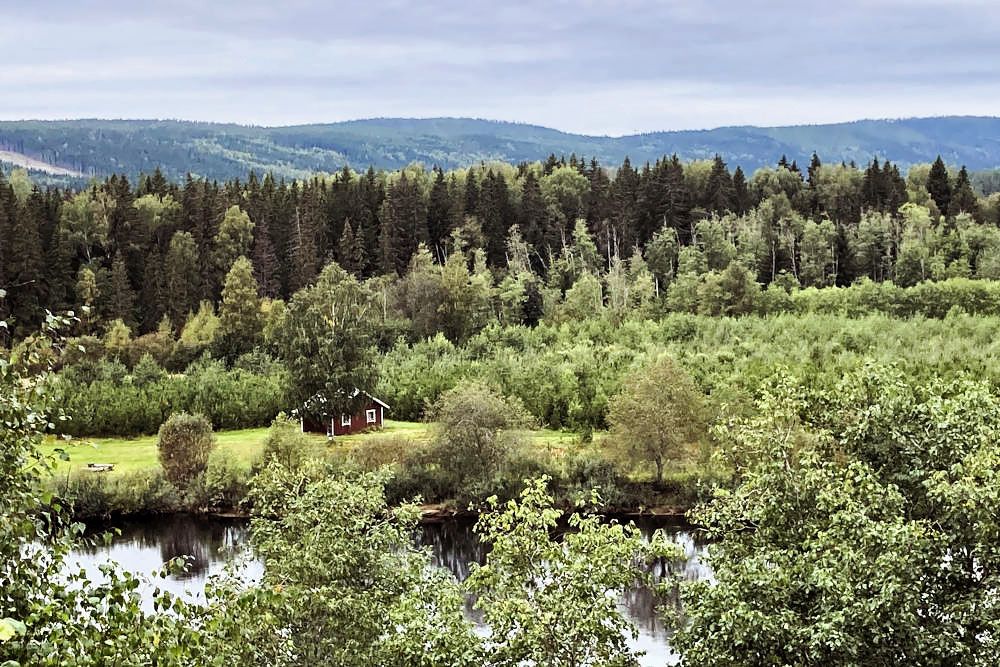
The trail now runs along the Vangån, a small fast-flowing river. Sometimes we have to make an effort to keep our feet dry, but we manage. It can happen that the water level is so high that the trail is impassable. We see signs for the detour. Later, we come across another point where this is possible. Fortunately, we can continue on the original route at that point.
During our hike at the Brattfallet waterfall, we learn a lot about this area. Thanks to various information boards along the route, we read about the formation of this area after the Ice Age. Fortunately, the text is not only in Swedish, although we understand some words. However, the information in English and German is a bit more pleasant to read. In a large bare spot in the forest, an ice block from a glacier fell millions of years ago. This ice mass caused a huge crater at the time. Over time, the crater was filled, only the open spot in the forest still reminds us of this event. Further along the route, we also read about old sand dunes, V-shaped valleys, coal storage areas, and the valley of the Vangån River on the information boards. All this information gives us a lot of educational background information.
Klarälven viewpoint
The route clearly shows which natural forces have shaped the landscape from the Ice Age to the present. The nature in the area is rich in variety: there are old pines at the Brattfallet gorge, fertile mixed forest at the rolling scree network. But also lush leaf vegetation in ravines, natural forest along the Vångan River, and sparse pine heath at sand dune fields. The rivers in this water-rich area are a paradise for trout and two special salmon species.
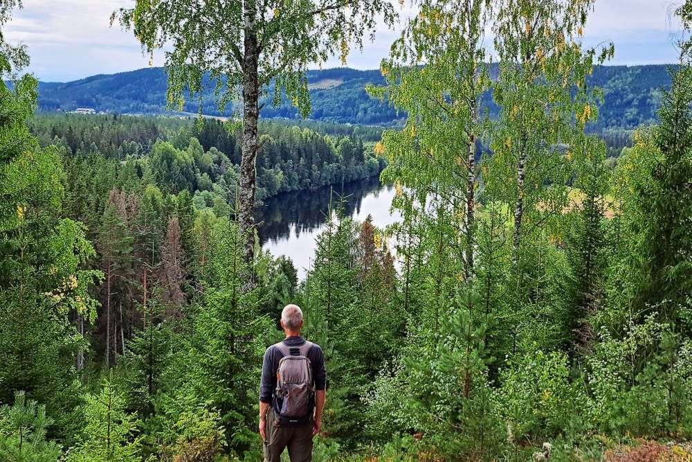
We pass a sign in Swedish “Utsikt Klarälven”. That must be a viewpoint. After about 70 meters, we reach the spot. It’s wonderful there. Down in the valley, the river Klarälven meanders through a wooded area. A great place for a break, we decide. We can sit comfortably at the shelter, enjoy the panorama, and have a cup of steaming coffee.
We later discover that the river water is crystal clear when we get closer. The river also owes its name to this, because Klarälven means “clear river” in Swedish. With a length of 460 kilometers, it is also the longest river in Scandinavia. From Sweden, the water flows to Norway. Historically, it was an important transportation route. Felled trees were transported to major cities via the river.
Wolf and moose traps
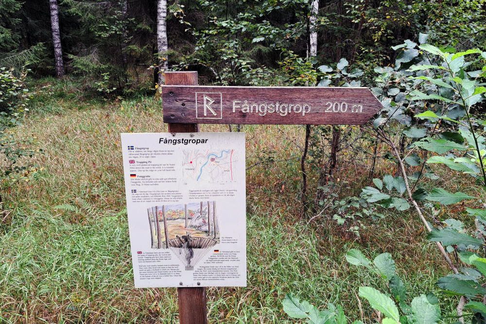
On one of the information boards, we read that there is a wolf and moose trap located about 200 meters from the trail. We want to see it. At the location itself, we can’t find much more about it. We have to let our imagination be sparked by the description on the sign. These traps have been in use since the Stone Age to catch wolves and moose. In 1864, this form of poaching was prohibited.
The wolf traps were often placed near settlements to prevent wolves from attacking. The trap consisted of a large pit lined with stones. The pit could be as deep as three meters and have a diameter of four meters. Due to the stone lining, a trapped wolf couldn’t pull itself out of the pit. The moose traps were often located in the forest. To prevent the moose from escaping, special wooden crates were placed at the bottom of the trap. If the moose entered the crate with its legs, it was impossible to escape.
Ironworks
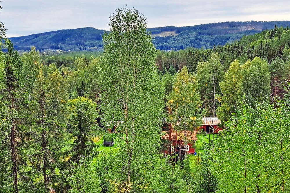
This area was not only important for timber production and timber transport on the river. There was also an ironworks, Halgå Bruk. The factory was established in 1833. The raw materials came to the factory via the river, sometimes also by horse through the forests. The processed iron left the factory by rowing boat. In Edebäck, it was transferred to larger ships for further transport to Karlstad and Gothenburg. In 1884, the factory closed at this location. The activities were then continued in Hagfors, 30 kilometers to the south. In the distance, we can see the office building of the factory and the house of the manager. We cannot see the forges and coal storage on the other side of the river.
The cherry on top: the Brattfallet waterfall
After that, it’s just a short walk to the end of the hike at the Brattfallet waterfall. The last few hundred meters follow the same path as the beginning. However, it’s always special to see other things that weren’t noticed before. The car park is a bit busier than this morning. But it’s certainly not overcrowded, which we were afraid of. Perhaps during the Swedish holiday season, this attraction is busier.
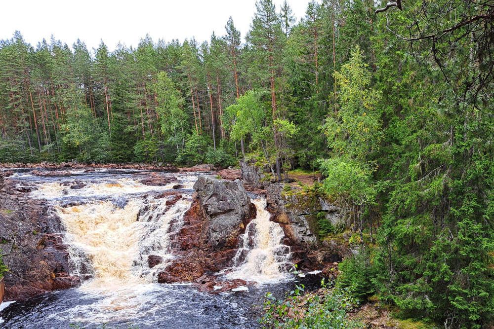
We take a small loop through the forest, in search of the waterfall. We reach it fairly quickly. The Brattfallet waterfall is totally different from, for example, the Njupeskär waterfall in Fulufjället National Park. There, the water plunges from a great height in a free fall. Now we see a waterfall that is only 10 meters high. Nevertheless, the view is spectacular. While it may not be tall, the Brattfallet is certainly wide. The water thunders down. Then it continues its way through a narrow gorge. A beautiful conclusion to a short but interesting hike in Värmland!
FAQs about the hike at the Brattfallet waterfall
This hike is almost 7 kilometers long. The route has significant changes in elevation, with some parts bridged by steep stairs. The ground can be muddy in some places, especially during high water. Detour signs will guide you if some sections are impassable.
The route begins at the Brattfallet waterfall, located approximately 12 km north of the town of Ekshärad, along the road on the east side of the Klarälven River. There is a parking lot at the Brattfallet waterfall. The hiking route starts across the road.
We didn't find a comprehensive route description of this route in English. However, the route is clearly marked. You follow the signs for Halgåleden, with the orange dot.
No, you won't come across any dining options during this hike. Therefore, it's advisable to bring your own food and drinks. There are a few shelters along the way where you can enjoy a picnic.
The route is also marked. You follow the signs for Halgåleden, with the orange dot.
For us, the ideal accommodation was a stuga at Värmlands Garden near Hagfors. A small campsite with only a few stugas, beautifully situated between two lakes. You can even stay in a glamping tent on an uninhabited island! The wood-fired sauna on the lake is also an experience. The campsite rents out canoes for (multi-day) canoe trips on the many nearby lakes. It takes about three quarters of an hour to drive from the campsite to the starting point of the hike at the Brattfallet waterfall.

